top of page
Registered Surveying Experts
Contour , Detail & Levels Surveys for your Sydney DA/CDC Development
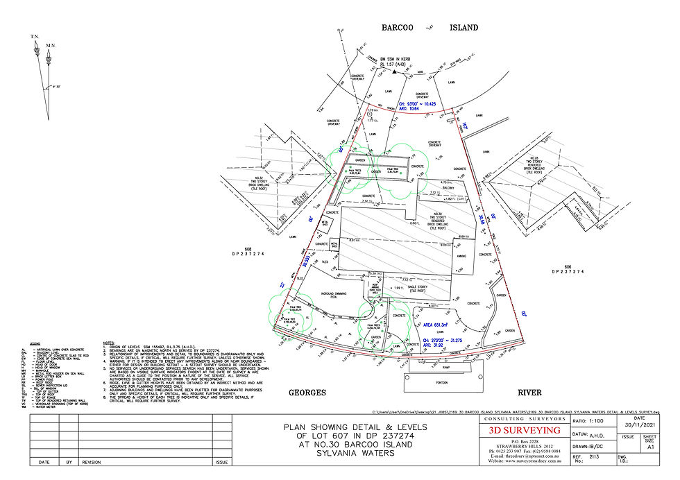

Detail & Levels plans reflecting typical site data capture for design stage projects.
An accurate Contour Survey is the fundamental blueprint of any property. By meticulously mapping the height, slope, and existing features across your site, we provide architects and engineers with the exact data needed for architectural design, civil engineering, and landscape planning.
Critical Site Insights We Map:
- DA / CDC Compliance: Accurate levels and contours are required to meet council building height and floor level standards.
- Suitable for Architectural & Engineering Designing.
- Subsurface & Utilities: identifying visible clues for service connections, including sewer and water markers.
- Earthworks Optimisation: Precise data reduces land movement costs during excavation and fill phases.
- Boundaries : Mapping existing fence lines and structures to confirm design set-backs and property alignment.
bottom of page